

Travel to Comoros
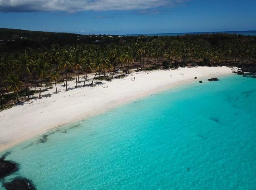

 3 photos
Comoros is an island country in the western Indian Ocean, situated off the coast of East Africa between Mozambique and Madagascar. Officially known as the Union of the Comoros.
Comoros lies at the northern end of the Mozambique Channel, occupying about 1,861 sq km of land. Its islands are volcanic, with rugged terrain, coral reefs, and fertile soils enriched by eruptions of Mount Karthala on Grande Comore. The tropical climate features a hot, wet season from November to April and a cooler, dry season from May to October. The country’s biodiversity includes lemurs, sea turtles, and the rare coelacanth fish.
Hotels in Comoros
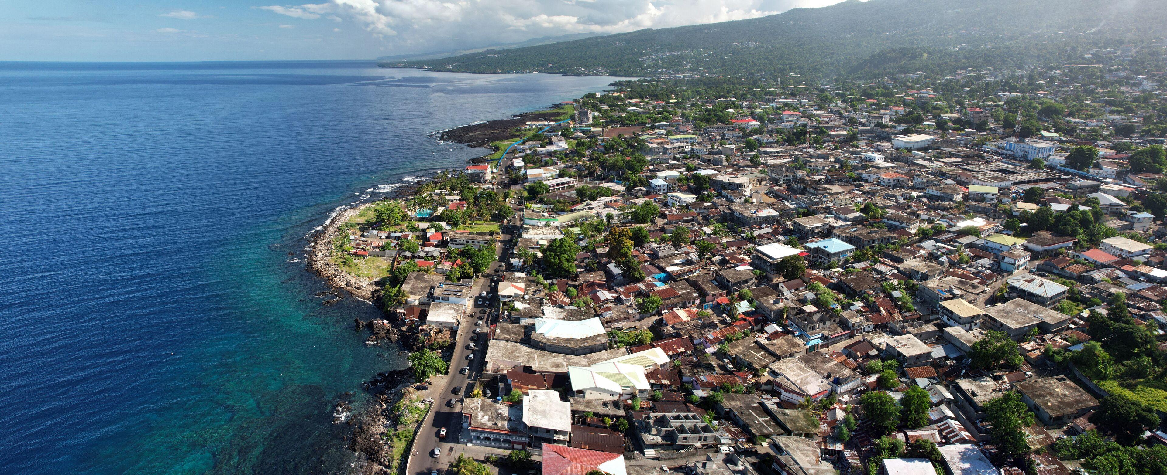 Moroni
Moroni is the capital and largest city of Comoros, located on the western coast of Grande Comore (Ngazidja), the country's largest island. It serves as the nation's political, economic, and cultural center, while its Indian Ocean setting, historic medina, and blend of Swahili, Arab, and French influences make it the country's best-known urban destination. Moroni sits between the slopes of the active Mount Karthala volcano and the Indian Ocean, giving the city a distinctive landscape. Its compact historic quarter features narrow streets, traditional coral-stone buildings, and markets, while the waterfront connects the capital to neighboring islands and regional maritime routes. Swahili, Arab, Persian, and later French influences have shaped Moroni over many centuries through trade across the Indian Ocean. Islam plays a central role in daily life, reflected in the city's many mosques, local customs, and annual religious celebrations. French, Comorian, and Arabic are widely present in education, government, and public life.
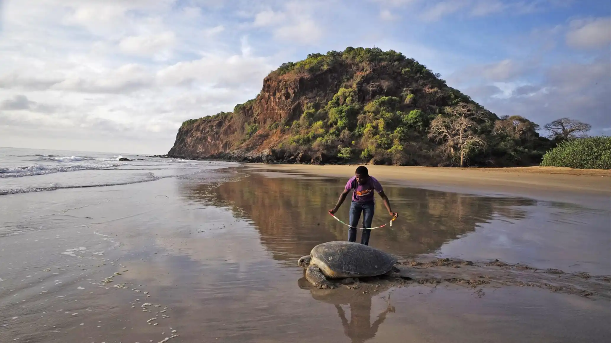 Mohéli National Park
Mohéli National Park is a protected area covering both land and sea on the island of Mohéli (Mwali) in the Union of the Comoros. It is the country's oldest protected area, renowned for its exceptional marine biodiversity, endemic wildlife, and community-based conservation, while also forming the core of the UNESCO-designated Mwali Biosphere Reserve. The park spans approximately 644 square kilometers, combining coral reefs, lagoons, seagrass meadows, mangrove forests, offshore islets, tropical forests, and volcanic highlands. Originally established as Mohéli Marine Park in 2001, it became a national park in 2010 and was expanded in 2015 to include most of the island's terrestrial habitats, creating one of the Indian Ocean's most diverse protected landscapes.
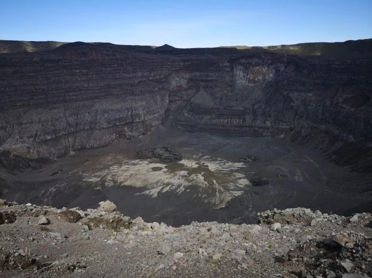 Climb Mount Karthala
Mount Karthala dominates the southern half of Grande Comore and is among the world's largest active basaltic shield volcanoes. Its broad, gently sloping profile contrasts with a spectacular summit caldera roughly 3 kilometers across, where lava flows, fumaroles, and crater collapses continually reshape the landscape. More than 20 eruptions have been documented since the 19th century, with activity occurring from both summit and flank vents. The mountain is far more than a volcano. Its slopes support a remarkable sequence of habitats, from cultivated lowlands through montane rainforest to high-elevation heathlands surrounding the crater. These forests are internationally important for biodiversity and contain numerous plant, bird, reptile, and butterfly species found nowhere else on Earth, making the Karthala massif a globally recognized Key Biodiversity Area.